- Joined
- Dec 23, 2013
- Messages
- 4,603
Yesterday was my 58th time around the sun, and as I normally do, I spent the day hiking. Usually at this time of year I try and do one of the more challenging peaks in the Wasatch, and this time I chose the Pfeifferhorn. This would hopefully be my fifth time to summit the Pfeiffer over the years. While not the hardest of the substantial Wasatch peaks, it will get your heart beating with the steep climb from Red Pine Lake, and there is a nice knife's edge scramble section that will keep one focused on the task at hand.
The Pfeifferhorn is the fifth tallest peak in the Wasatch, standing at 11,331 feet and is located in the heart of the Lone Peak Wilderness. The trail begins at the White Pine Trailhead in Little Cottonwood Canyon and works its way up Red Pine Fork to Red Pine Lake. From the lake, one works his or her way up the ridge above the lake. Once you have gained the ridge, the Pfeifferhorn comes into view to the west. All one needs to do then is head along the ridge until you hit the knife's edge, which is located to the east of the summit block. After scrambling across the knife's edge, it's a steep climb up to the summit. On the summit, the views are tremendous in all directions.
I had invited a couple of recently retired coworkers (Amy and Jon) to join Katie and I on this hike, but Jon tested positive for Covid on Monday so he couldn't make it, but Amy was glad to give it a go. We met at the White Pine Trailhead at 6:00 am for what would turn out to be an almost ten hour day. The hike up to Red Pine Lake was a humid one, with clouds of mosquitoes to contend with. I hadn't anticipated this, so I just had to suffer. Once above Red Pine Lake, the mosquitoes were no longer a problem. After reaching the summit, we enjoyed a long lunch before heading back down. There were some storm clouds to the west of us that we didn't want to wait around for. We did get sprinkled on on our way back down from Red Pine.
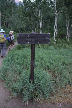
Leaving the trailhead. The first part of the trail is an old Jeep road that goes all the way
to White Pine Lake.
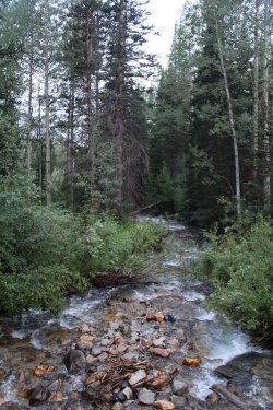
Little Cottonwood Creek
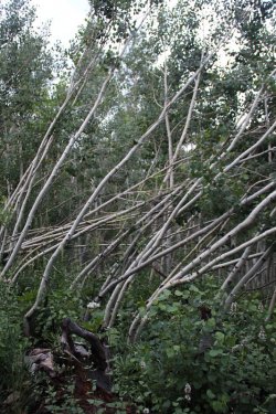
A previous snow slide has caused these young aspen to bend.
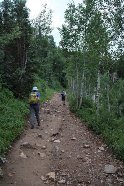
On the old Jeep road
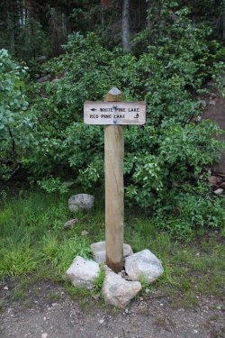
Trail junction sign. We will be heading to the right
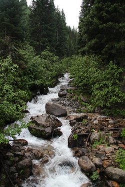
Red Pine Fork
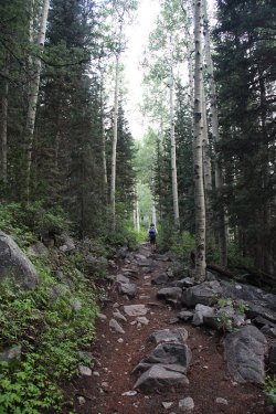
Typical of the trail to Red Pine
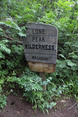
Lone Peak Wilderness Boundary
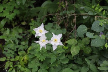
Columbine were plentiful along a long stretch of the trail to Red Pine
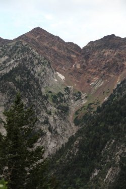
A look across Little Cottonwood Canyon at Tanner Gulch and Sunrise Peak
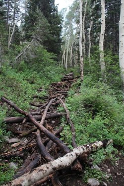
The old trail. If the Forest Service thinks that this is going to deter the Scatman, they
have something else coming. No, the FS has put in some new switchbacks since
the last time I had hiked this trail. They have done a really nice job with the new trail.
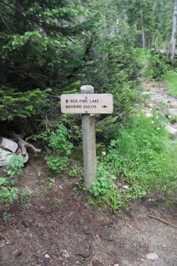
At the junction with the Maybird Gulch Trail
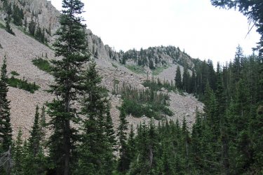
The views form the trail are starting to open up a bit
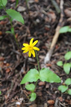
Hearleaf Arnica
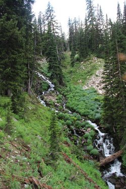
Another shot of Red Pine Fork
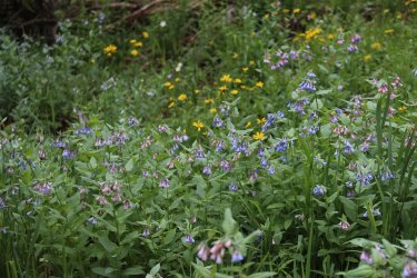
Bluebells along the trail
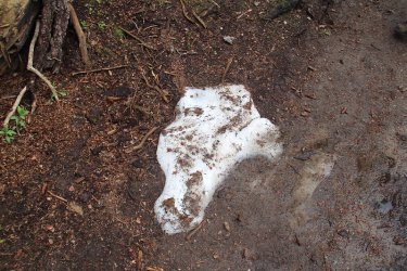
First patch of snow that we encountered
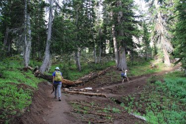
Nice look at one of the new switchback the FS has created on the way to Red Pine
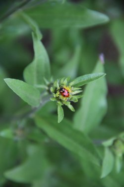
Ladybug
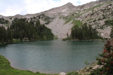
Red Pine Lake. We'll be gaining the ride essentially straight up from the center of the image
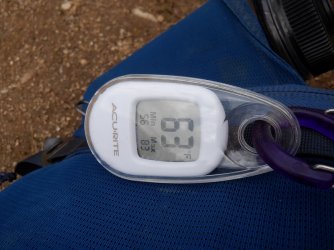
63 degrees at the lake around 8:30 in the morning
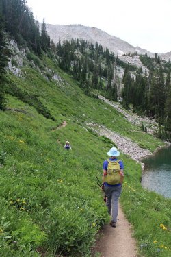
After a quick break, we made our way along the east side of the lake to begin our climb
to the ridge.
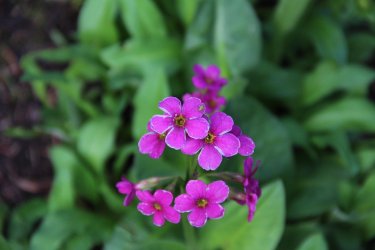
Parry's primrose
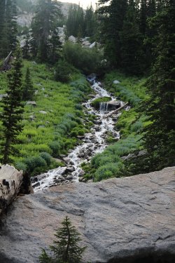
Upper part of Red Pine Fork - it flows from Upper Red Pine Lake
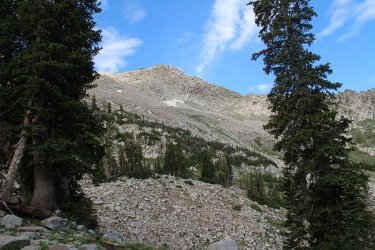
Heading up in that general direction
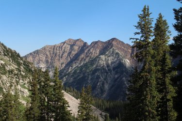
A look across the canyon at Broad's Fork Twin Peaks and Sunrise Peak on the Cottonwood Ridge
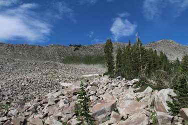
Following this small ridge to the top
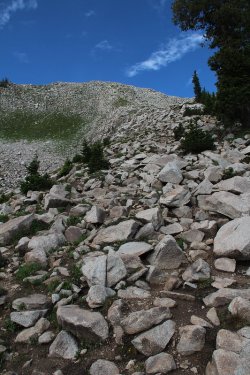
Better look at the small ridge
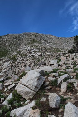
And yet another
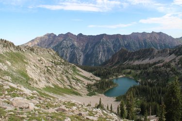
Looking back down from the small ridge to Red Pine Lake and the Cottonwood Ridge across the canyon.
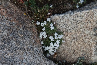
Nuttal's linanthus enjoy the higher elevations
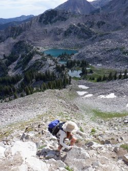
Amy, working her way up the small ridge, with Upper Red Pine Lake (largest one) to the east
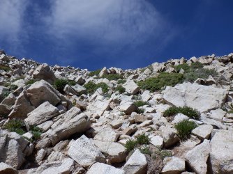
Getting close to the top of the ridge
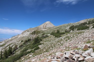
On the ridge now, with our first view of the Pfeifferhorn to the west
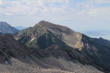
Box Elder Peak to the south
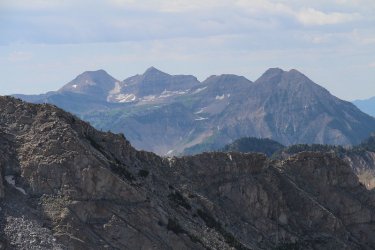
Mount Timpanogos even further south
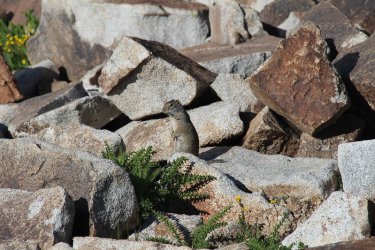
Ground squirrel on the ridge
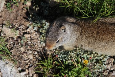
He was a curious fellow
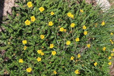
Some cinquefoil on the ridge
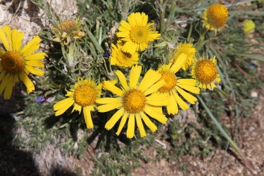
Old man of the mountain. And here you thought that was me.
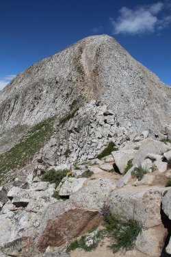
Approaching the knife's edge and the Pfeifferhorn beyond
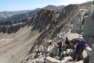
Working our way along the knife's edge
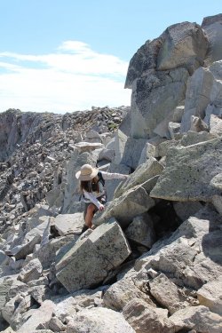
Amy scrambling along
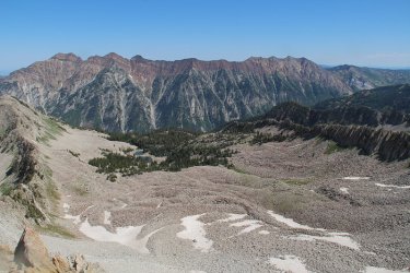
View down into Maybird Gulch from the knife's edge
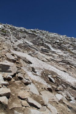
Working our way up the Pfeifferhorn. My calves were feeling it at this point.
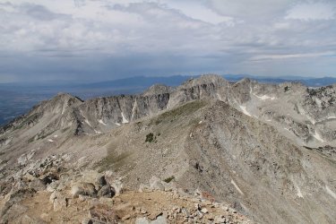
View from the top of the Pfeifferhorn to the west. This is a good view of the Beat-out route that follows the ridge off of the
Pfeifferhorn all the way to South Thunder Mountain, where you then drop down into Bells Canyon. Lone Peak is the furthest peak
to the west.
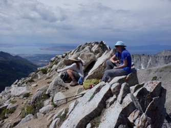
Lunch on the summit. Utah Lake in the upper left of the image
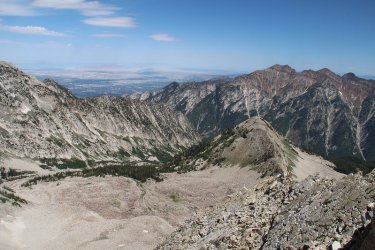
View down into Hogum Fork
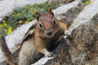
Another curious little fellow
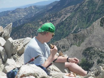
And not shy.
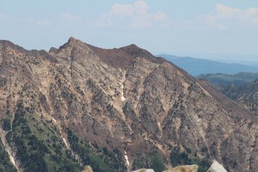
A look slight northeast from my lunch spot towards Monte Cristo and Mount Superior
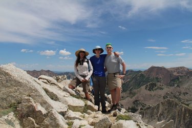
Summit shot
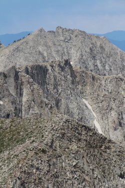
A look to the west towards UPWOP (unnamed peak west of Pfeifferhorn), then Lightning
Ridge, and finally Lone Peak.
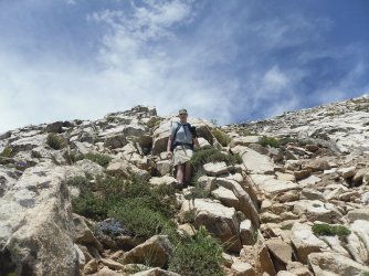
Coming down of the Pfeifferhorn
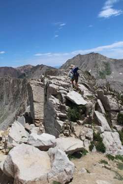
Back to the knife's edge
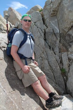
Chillin' on the knife's edge. Now before this shot, I lost another water bottle down a deep
crack. That is the third water bottle that I have lost in the last two weeks! At this rate,
I'm going to be bankrupt! @Rockskipper, I may need a loan to continue my expensive tastes.
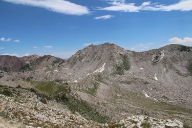
Red Baldy
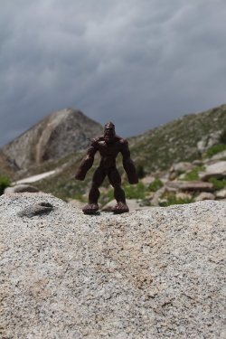
Hmm.......... It doesn't exist.
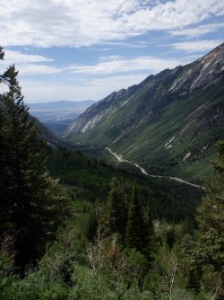
A look down Little Cottonwood Canyon
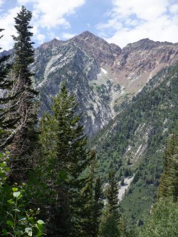
Tanner Gulch again with some sunshine on it this time
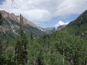
A look up Little Cottonwood Canyon
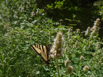
A swallowtail on some horsemint
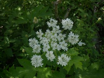
Cow Parsnip
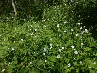
White geraniums were prevalent along the trail
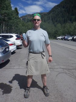
No better way to finish off a summit of the Pfeifferhorn than with a Pfeifferhorn Lager!

Unless of course it is nachos at the Porcupine!
The End.
The Pfeifferhorn is the fifth tallest peak in the Wasatch, standing at 11,331 feet and is located in the heart of the Lone Peak Wilderness. The trail begins at the White Pine Trailhead in Little Cottonwood Canyon and works its way up Red Pine Fork to Red Pine Lake. From the lake, one works his or her way up the ridge above the lake. Once you have gained the ridge, the Pfeifferhorn comes into view to the west. All one needs to do then is head along the ridge until you hit the knife's edge, which is located to the east of the summit block. After scrambling across the knife's edge, it's a steep climb up to the summit. On the summit, the views are tremendous in all directions.
I had invited a couple of recently retired coworkers (Amy and Jon) to join Katie and I on this hike, but Jon tested positive for Covid on Monday so he couldn't make it, but Amy was glad to give it a go. We met at the White Pine Trailhead at 6:00 am for what would turn out to be an almost ten hour day. The hike up to Red Pine Lake was a humid one, with clouds of mosquitoes to contend with. I hadn't anticipated this, so I just had to suffer. Once above Red Pine Lake, the mosquitoes were no longer a problem. After reaching the summit, we enjoyed a long lunch before heading back down. There were some storm clouds to the west of us that we didn't want to wait around for. We did get sprinkled on on our way back down from Red Pine.
Leaving the trailhead. The first part of the trail is an old Jeep road that goes all the way
to White Pine Lake.
Little Cottonwood Creek
A previous snow slide has caused these young aspen to bend.
On the old Jeep road
Trail junction sign. We will be heading to the right
Red Pine Fork
Typical of the trail to Red Pine
Lone Peak Wilderness Boundary
Columbine were plentiful along a long stretch of the trail to Red Pine
A look across Little Cottonwood Canyon at Tanner Gulch and Sunrise Peak
The old trail. If the Forest Service thinks that this is going to deter the Scatman, they
have something else coming.
No, the FS has put in some new switchbacks sincethe last time I had hiked this trail. They have done a really nice job with the new trail.
At the junction with the Maybird Gulch Trail
The views form the trail are starting to open up a bit
Hearleaf Arnica
Another shot of Red Pine Fork
Bluebells along the trail
First patch of snow that we encountered
Nice look at one of the new switchback the FS has created on the way to Red Pine
Ladybug
Red Pine Lake. We'll be gaining the ride essentially straight up from the center of the image
63 degrees at the lake around 8:30 in the morning
After a quick break, we made our way along the east side of the lake to begin our climb
to the ridge.
Parry's primrose
Upper part of Red Pine Fork - it flows from Upper Red Pine Lake
Heading up in that general direction
A look across the canyon at Broad's Fork Twin Peaks and Sunrise Peak on the Cottonwood Ridge
Following this small ridge to the top
Better look at the small ridge
And yet another
Looking back down from the small ridge to Red Pine Lake and the Cottonwood Ridge across the canyon.
Nuttal's linanthus enjoy the higher elevations
Amy, working her way up the small ridge, with Upper Red Pine Lake (largest one) to the east
Getting close to the top of the ridge
On the ridge now, with our first view of the Pfeifferhorn to the west
Box Elder Peak to the south
Mount Timpanogos even further south
Ground squirrel on the ridge
He was a curious fellow
Some cinquefoil on the ridge
Old man of the mountain. And here you thought that was me.
Approaching the knife's edge and the Pfeifferhorn beyond
Working our way along the knife's edge
Amy scrambling along
View down into Maybird Gulch from the knife's edge
Working our way up the Pfeifferhorn. My calves were feeling it at this point.
View from the top of the Pfeifferhorn to the west. This is a good view of the Beat-out route that follows the ridge off of the
Pfeifferhorn all the way to South Thunder Mountain, where you then drop down into Bells Canyon. Lone Peak is the furthest peak
to the west.
Lunch on the summit. Utah Lake in the upper left of the image
View down into Hogum Fork
Another curious little fellow
And not shy.
A look slight northeast from my lunch spot towards Monte Cristo and Mount Superior
Summit shot
A look to the west towards UPWOP (unnamed peak west of Pfeifferhorn), then Lightning
Ridge, and finally Lone Peak.
Coming down of the Pfeifferhorn
Back to the knife's edge
Chillin' on the knife's edge. Now before this shot, I lost another water bottle down a deep
crack.
That is the third water bottle that I have lost in the last two weeks! At this rate,I'm going to be bankrupt! @Rockskipper, I may need a loan to continue my expensive tastes.
Red Baldy
Hmm.......... It doesn't exist.
A look down Little Cottonwood Canyon
Tanner Gulch again with some sunshine on it this time
A look up Little Cottonwood Canyon
A swallowtail on some horsemint
Cow Parsnip
White geraniums were prevalent along the trail
No better way to finish off a summit of the Pfeifferhorn than with a Pfeifferhorn Lager!
Unless of course it is nachos at the Porcupine!
The End.
Last edited:
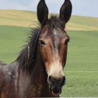
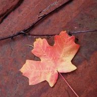


 I was really hoping to see one, and Amy said that she often sees them when she hikes to Red Pine, especially in the morning hours. The only critters that we saw were the small fury kinds.